Circular trail on the Sauerland-Höhenflug
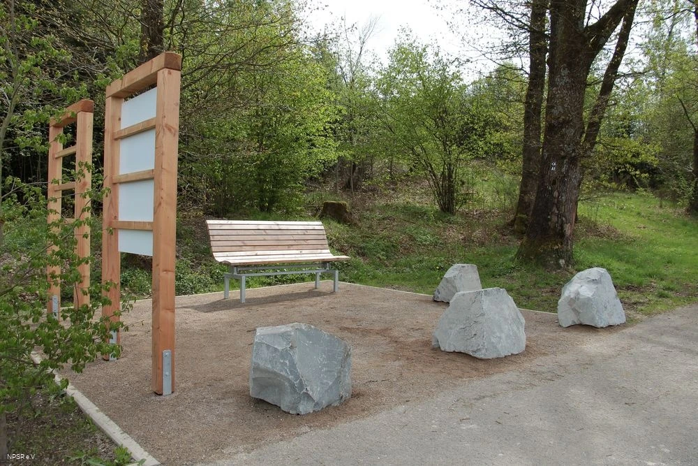
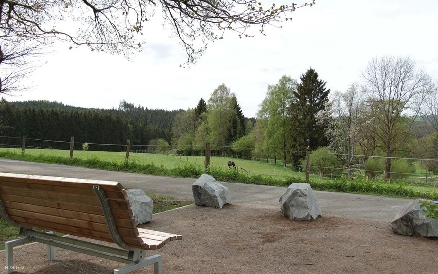
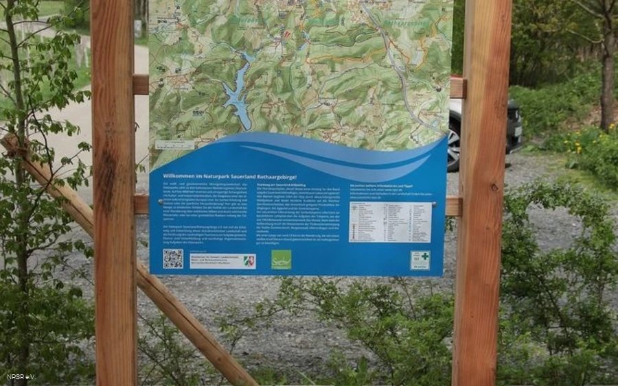
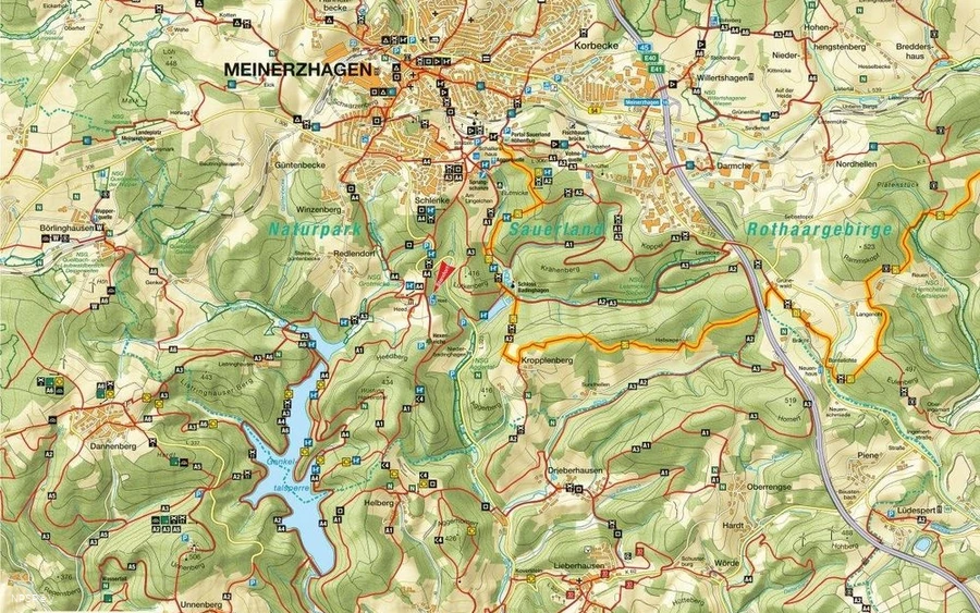
The "Heed" hiking parking lot is the starting point for the Sauerland-Höhenflug circular trail "We learned it from the water!". Often accompanied by streams, the trail leads through varied wooded areas and offers wonderful views of the Meinhardus Mattenschanzen, the romantically situated private castle of Badinghagen, the Agger Valley and the Genkeltalsperre dam.
A signposted nature trail along the near-natural banks of the Genkeltalsperre dam provides information about the importance of the dam, from which raw water has been extracted since 1953. After being treated by the waterworks, the water is used to supply drinking water to the towns of Gummersbach, Bergneustadt, Meinerzhagen and Marienheide.
At around 12 km in length, the hike, which is marked with a white H on a blue background, is easily manageable as a half-day tour.
___________________________________
Coordinates for the navigation system (WGS 84):
GPS: N 51° 5' 11.2524 E 7° 38' 33.5472
UTM: 32U 404934.4 5660315.78
___________________________________
The facility belongs to the Naturpark Sauerland Rothaargebirge e.V. and is maintained and serviced by them.
Should you nevertheless notice any soiling or damage, please let us know by sending an email to info@npsr.de.
(Source: Naturpark Sauerland Rothaargebirge e.V.)


