The Lörmecketurm on the Sauerland-Waldroute premium hiking trail in Warstein offers a uniquely beautiful view for every hiking enthusiast.
The "Lörmecketurm" was erected on the highest point of the Arnsberg Forest Nature Park at 581 meters above sea level to provide an impression of the area in which the Sauerland-Waldroute runs.
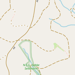
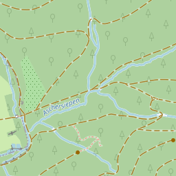
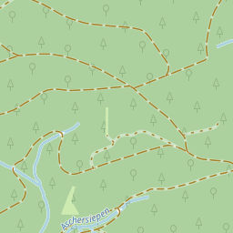
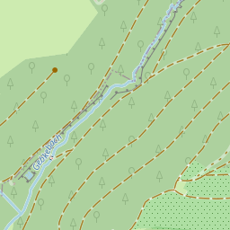
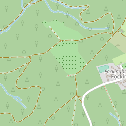
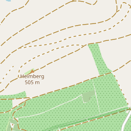
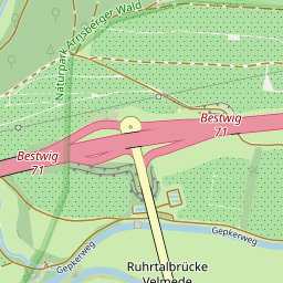
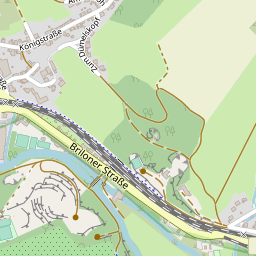
The site is located between Warstein and Eversberg directly on the Plackweg, around three kilometers east of the designated parking area in front of the historic Stimmstamm mountain pass (541 meters) and guarantees a magnificent panoramic view of Hochsauerland and across the Haarstrang and Westfalen Bay to the Teutoburg Forest. The tower has a height of 35 meters and its static elements are made of cross-laminated logs from Douglas fir stands. Inside, a steel spiral staircase leads to the viewing platform via two intermediate landings. From each platform, you can enjoy a 360-degree view.
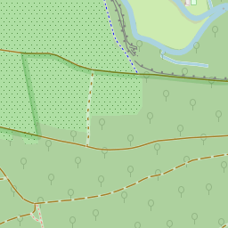
There are various hiking options around the Lörmecketurm:
Hiking trail 1
Bilsteintal - Paradies - Hubertusquelle - Lörmecketurm - Lörmecketurm parking lot - Sedansteich pond
Length: 16.5 km
Highest point: 580 m Lowest point: 351 m
maximum gradient: 8.9% steepest gradient: 14.4%
Total gradient: 321 m Total gradient: 322 m
Hiking trail 2
Lörmecketurm parking lot - Kapellenplatz - Lörmecketurm
Length: 6.3 km
Highest point: 580 m Lowest point: 488 m
maximum gradient: 8.1% steepest gradient: 8.3%
Total gradient: 111 m Total gradient: 113 m
Hiking trail 3
Montgolfiade site - Brewery visitor center - Ausspann - Lörmecketurm - Paradies - Herrlichkeit
Length: 13.5 km
Highest point: 580 m Lowest point: 344 m
maximum gradient: 14.3% steepest gradient: 14.4%
Total gradient: 311 m Total gradient: 323 m
The flyer "Views and vistas - hiking around the Lörmecketurm" can also be requested for delivery by Post from:
Stadtmarketing Warstein e.V.
Dieplohstr. 1
59581 Warstein
Telephone 02902 810 or 81268
There are places to stop for refreshments in the villages of Warstein or Hirschberg.