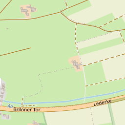
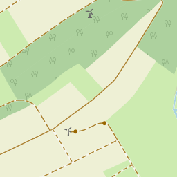
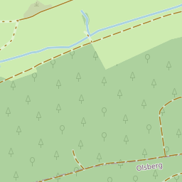
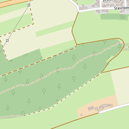
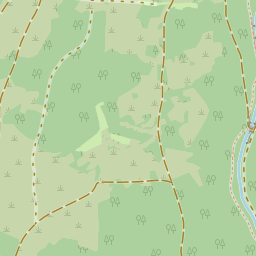
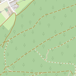
These areas were only cultivated for a few years - mainly with oats, rye and buckwheat. They then usually lay fallow for four to six years or even longer. To protect them from the cattle grazing on the Heid, the wild lands were enclosed by Wallen, which were overgrown with dense hedges. These wild lands were reforested with spruce trees in the mid-19th century. These Wallen are still recognizable today.
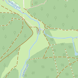
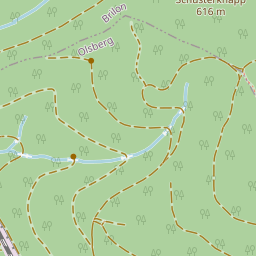
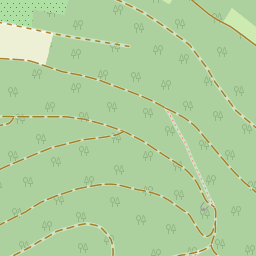
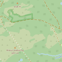
Farming in the spruce forest
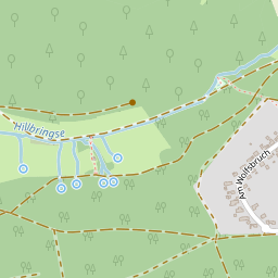
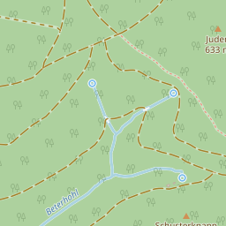
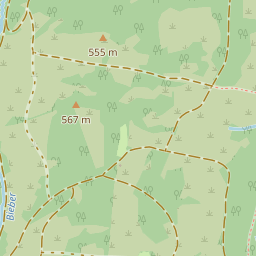
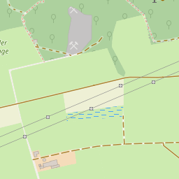
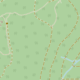
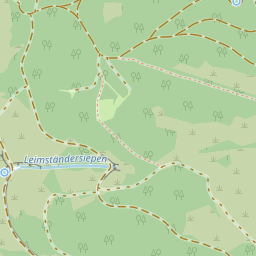
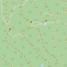
On the path between the Borberg and the Hilbringse, the trail leads over several Wallen up to 40 cm high. If you follow the trail of the Wallen into the forest, you can see that they enclose an almost rectangular area. A comparison with historical maps shows that this enclosed area was used as farmland at the time. Today it is hard to imagine that there was farmland here over 150 years ago.